
Norma topographic map
Click on the map to display elevation.
About this map
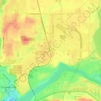
Name: Norma topographic map, elevation, terrain.
Average elevation: 277 m
Minimum elevation: 243 m
Maximum elevation: 298 m
Other topographic maps
Click on a map to view its topography, its elevation and its terrain.
Northern Wisconsin State Fairgrounds
United States > Wisconsin > Chippewa County > Chippewa Falls
Average elevation: 279 m
Lake Wissota State Park
United States > Wisconsin > Chippewa County > Chippewa Falls > Anson
Average elevation: 284 m