Geolocate

San Isidro topographic map

Click on the map to display elevation.

About this map

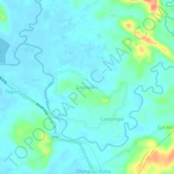
Name: San Isidro topographic map, elevation, terrain.

Location: San Isidro, Quezon, Calabarzon, 4309, Philippines (13.73180 122.15692 13.77180 122.19692)

Average elevation: 12 m

Minimum elevation: 1 m

Maximum elevation: 60 m

Gear up for your next adventure:

🔥Camping Stove - Portable stoves to cook outdoors with ease
🚲Handlebar Phone Mount - View topographic-map.com live while cycling
🧦Hiking Liner Socks - Thin base layer to prevent friction and blisters
🥤Collapsible Travel Cup - Saves space and weight in your mess kit
🧣Evaporative Cooling Towel - Beat the heat during intense summer climbs

As an Amazon Associate, this site earns from qualifying purchases at no extra cost to you.