
Ea Kar topographic map
Interactive map
Click on the map to display elevation.
About this map
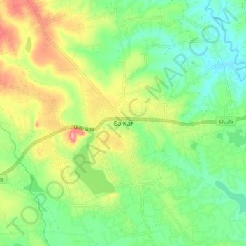
Name: Ea Kar topographic map, elevation, terrain.
Location: Ea Kar, Province de Đắk Lắk, Viêt Nam (12.77073 108.41683 12.85073 108.49683)
Average elevation: 470 m
Minimum elevation: 424 m
Maximum elevation: 544 m