
Dongang topographic map
Interactive map
Click on the map to display elevation.
About this map
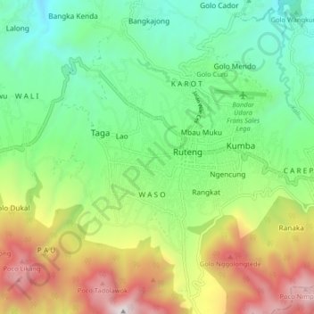
Name: Dongang topographic map, elevation, terrain.
Average elevation: 1,298 m
Minimum elevation: 723 m
Maximum elevation: 2,340 m
Other topographic maps
Click on a map to view its topography, its elevation and its terrain.
Ruteng
Indonésie > Petites Îles de la Sonde orientales > Manggarai
Ruteng, Manggarai, Petites Îles de la Sonde orientales, 86511, Indonésie
Average elevation: 1,272 m