Geolocate

Chavadi topographic map

Click on the map to display elevation.

About this map

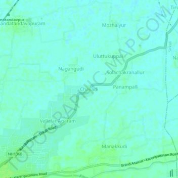
Name: Chavadi topographic map, elevation, terrain.

Location: Chavadi, Mayiladuthurai, Tamil Nadu, 609305, India (11.10799 79.65728 11.14799 79.69728)

Average elevation: 9 m

Minimum elevation: 5 m

Maximum elevation: 14 m

Gear up for your next adventure:

🧢Outdoor Visor - Breathable visor for sunny hikes
🥾Trekking Poles - Adjustable trekking poles to reduce knee stress and improve stability
🥤Collapsible Travel Cup - Saves space and weight in your mess kit
🚲MTB Frame Bag - Carry tools and maps directly on your bicycle frame
🛏️Sleeping Bag - Warm and compact sleeping bags for outdoor camping

As an Amazon Associate, this site earns from qualifying purchases at no extra cost to you.