Geolocate

Oaș topographic map

Click on the map to display elevation.

About this map

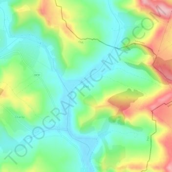
Name: Oaș topographic map, elevation, terrain.

Location: Oaș, Cluj, 407287, Romania (46.67988 24.07175 46.71988 24.11175)

Average elevation: 378 m

Minimum elevation: 314 m

Maximum elevation: 496 m

Gear up for your next adventure:

🧢Outdoor Cap - Protective cap for sun and rain during hikes
💡Compact LED Flashlight - Powerful and portable flashlight for outdoor use
💡Solar Camping Lamp - Eco-friendly lighting for campsites
🥾Trekking Poles - Adjustable trekking poles to reduce knee stress and improve stability
🧥Packable Rain Jacket - Breathable waterproof layer for unpredictable weather

As an Amazon Associate, this site earns from qualifying purchases at no extra cost to you.