
Thank you for supporting this site ❤️
Make a donation
Make a donation
Gear up for your next adventure:
As an Amazon Associate, this site earns from qualifying purchases at no extra cost to you.
Dobraia topographic map
Click on the map to display elevation.
Thank you for supporting this site ❤️
Make a donation
Make a donation
Gear up for your next adventure:
As an Amazon Associate, this site earns from qualifying purchases at no extra cost to you.
About this map
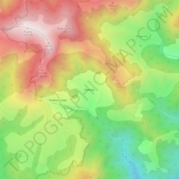
Name: Dobraia topographic map, elevation, terrain.
Location: Dobraia, Cornereva, Caraș-Severin, 327123, Romania (44.98392 22.44849 45.02392 22.48849)
Average elevation: 959 m
Minimum elevation: 442 m
Maximum elevation: 1,502 m
Thank you for supporting this site ❤️
Make a donation
Make a donation
Gear up for your next adventure:
As an Amazon Associate, this site earns from qualifying purchases at no extra cost to you.