
Make a donation
Gear up for your next adventure:
As an Amazon Associate, this site earns from qualifying purchases at no extra cost to you.
Oberhaching topographic map
Click on the map to display elevation.
Make a donation
Gear up for your next adventure:
As an Amazon Associate, this site earns from qualifying purchases at no extra cost to you.
Oberhaching
Zusätzlich bietet sich am Kyberg, einem ins Gleißental hineinragenden Höhenrücken, ein weiter Blick in die Ebene. Hier finden sich Reste einer steinzeitlichen Besiedelung, und hier wird auch der Fürstensitz aus bajuwarischer Zeit vermutet. Heute steht hier das Rathaus.
Make a donation
Gear up for your next adventure:
As an Amazon Associate, this site earns from qualifying purchases at no extra cost to you.
About this map
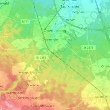
Name: Oberhaching topographic map, elevation, terrain.
Location: Oberhaching, Landkreis München, Bayern, Deutschland (47.96130 11.53764 48.05112 11.62925)
Average elevation: 607 m
Minimum elevation: 556 m
Maximum elevation: 685 m
Make a donation
Gear up for your next adventure:
As an Amazon Associate, this site earns from qualifying purchases at no extra cost to you.