Geolocate

Stickney topographic map

Click on the map to display elevation.

About this map

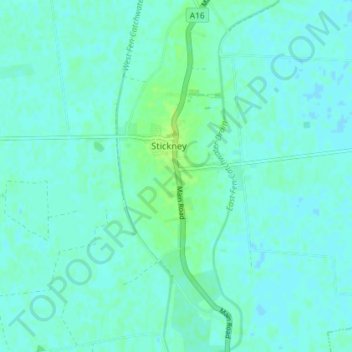
Name: Stickney topographic map, elevation, terrain.

Location: Stickney, East Lindsey, Lincolnshire, England, United Kingdom (53.06704 -0.02318 53.11036 0.03246)

Average elevation: 3 m

Minimum elevation: -1 m

Maximum elevation: 12 m

Other topographic maps

Click on a map to view its topography, its elevation and its terrain.

Gear up for your next adventure:

🦯Trekking Poles - Reduced impact on joints for steep topographic climbs
🧥Thermal Fleece Jacket - Versatile insulation for changing mountain temperatures
🧢Outdoor Cap - Protective cap for sun and rain during hikes
🥘Camping Cookware Set - Compact nesting pots and pans for trail cooking
🛌Insulated Sleeping Pad - Critical thermal barrier between you and the cold ground

As an Amazon Associate, this site earns from qualifying purchases at no extra cost to you.