Geolocate

el Tor topographic map

Click on the map to display elevation.

About this map

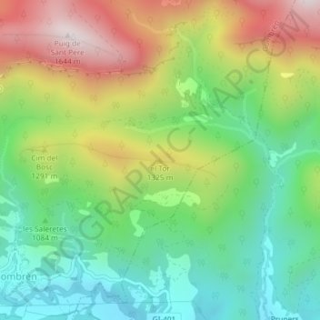
Name: el Tor topographic map, elevation, terrain.

Location: el Tor, Gombrèn, Ripollès, Girona, Catalonia, Spain (42.25812 2.10705 42.25822 2.10715)

Average elevation: 1,152 m

Minimum elevation: 846 m

Maximum elevation: 1,623 m

Gear up for your next adventure:

🦟Insect Repellent - Keep mosquitoes and black flies away in wooded areas
🧊Portable Cooler - Keep food and drinks cold during outdoor adventures
🧭Orienteering Kit - Tools for map reading and navigation in the wild
🧥Fleece Jacket - Warm and lightweight jacket for layering
❄️Traction Ice Cleats - Slip-on spikes for icy trails and winter hiking

As an Amazon Associate, this site earns from qualifying purchases at no extra cost to you.