Geolocate

Carachuco topographic map

Click on the map to display elevation.

About this map

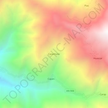
Name: Carachuco topographic map, elevation, terrain.

Location: Carachuco, Pamparomás, Huaylas, Áncash, Perú (-9.21074 -78.01776 -9.17074 -77.97776)

Average elevation: 2,886 m

Minimum elevation: 1,942 m

Maximum elevation: 3,846 m

Gear up for your next adventure:

🧦Crew Hiking Socks - Comfortable socks for long-distance hikes
🦶Hiking Shoe Insoles - Added support for high arches and long days on feet
🥾Light Trekking Boots - Supportive boots for multi-day treks
🥾Mountain Hiking Shoes - Shoes with superior grip for mountainous terrain
💧Filtered Water Bottle - Safe drinking water on the go

As an Amazon Associate, this site earns from qualifying purchases at no extra cost to you.