Geolocate

Umaria Pan topographic map

Click on the map to display elevation.

About this map

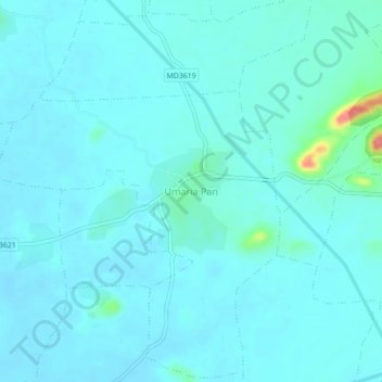
Name: Umaria Pan topographic map, elevation, terrain.

Location: Umaria Pan, Dhimarkheda Tahsil, Katni, Madhya Pradesh, India (23.49065 80.25363 23.53065 80.29363)

Average elevation: 400 m

Minimum elevation: 391 m

Maximum elevation: 473 m

Gear up for your next adventure:

🐕Hiking Dog Pack - Let your canine companion carry their own water and food
🧴Waterproofing Spray - Restore the DWR coating on jackets and tents
🧴First Aid Kit - Essential first aid supplies for outdoor emergencies
🧦Outdoor Socks - Durable socks designed for hiking and outdoor sports
🔦LED Flashlight - Powerful and long-lasting flashlight for camping and emergencies

As an Amazon Associate, this site earns from qualifying purchases at no extra cost to you.