Geolocate

Syria topographic map

Click on the map to display elevation.

About this map

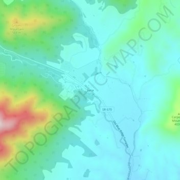
Name: Syria topographic map, elevation, terrain.

Location: Syria, Madison County, Virginia, 22743, United States (38.46790 -78.34612 38.50790 -78.30612)

Average elevation: 283 m

Minimum elevation: 174 m

Maximum elevation: 703 m

Other topographic maps

Click on a map to view its topography, its elevation and its terrain.

Blakey Ridge

United States > Virginia > Madison County

Average elevation: 415 m

Gear up for your next adventure:

🧢Sun Protection Cap - Breathable cap to protect from sun exposure
🧊Portable Cooler - Keep food and drinks cold during outdoor adventures
🧦Crew Hiking Socks - Comfortable socks for long-distance hikes
💡LED Camping Lantern - Illuminate your campsite with long-lasting lanterns
👖Convertible Hiking Pants - Zip-off legs to adapt to changing weather conditions

As an Amazon Associate, this site earns from qualifying purchases at no extra cost to you.