Geolocate

Puerto Colombia topographic map

Click on the map to display elevation.

About this map

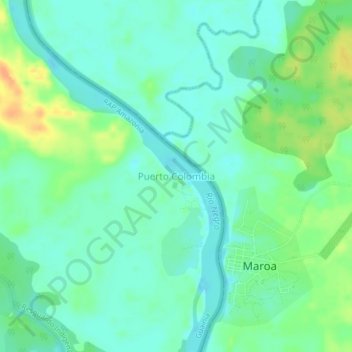
Name: Puerto Colombia topographic map, elevation, terrain.

Location: Puerto Colombia, Guainía, RAP Amazonía, Colombia (2.70808 -67.58798 2.74808 -67.54798)

Average elevation: 91 m

Minimum elevation: 79 m

Maximum elevation: 114 m

Gear up for your next adventure:

🐕Hiking Dog Pack - Let your canine companion carry their own water and food
🎒Backpack Rain Cover - External shield to keep your entire pack dry
🥾Trail Hiking Boots - Supportive boots for rough trails
🧣Merino Neck Gaiter - Protects against wind, sun, and cold at high altitudes
🦯Trekking Poles - Reduced impact on joints for steep topographic climbs

As an Amazon Associate, this site earns from qualifying purchases at no extra cost to you.