
القلعة topographic map
Interactive map
Click on the map to display elevation.
About this map
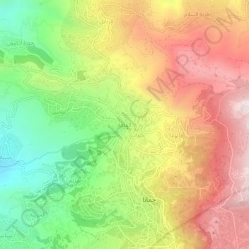
Name: القلعة topographic map, elevation, terrain.
Location: القلعة, District de Baabda, Gouvernorat du Mont Liban, Liban (33.81898 35.71116 33.85898 35.75116)
Average elevation: 1,151 m
Minimum elevation: 692 m
Maximum elevation: 1,611 m