
Isla de Patos topographic map
Interactive map
Click on the map to display elevation.
About this map
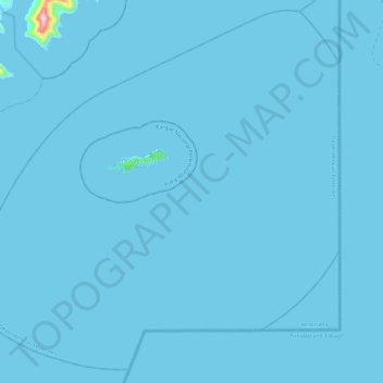
Name: Isla de Patos topographic map, elevation, terrain.
Location: Isla de Patos, Dependencias Federales, Venezuela (10.57337 -61.92006 10.68742 -61.80283)
Average elevation: 1 m
Minimum elevation: 0 m
Maximum elevation: 285 m
Other topographic maps
Click on a map to view its topography, its elevation and its terrain.
Isla Tortuga
Venezuela > Dependencias Federales
Isla Tortuga, Dependencias Federales, Región Insular, Venezuela
Average elevation: 2 m