Geolocate

Massaguet topographic map

Interactive map

Click on the map to display elevation.

About this map

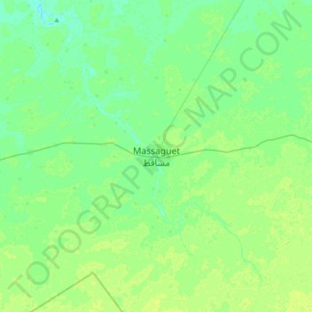
Name: Massaguet topographic map, elevation, terrain.

Location: Massaguet, Hadjer-Lamis, Chad (12.32243 15.27963 12.64243 15.59963)

Average elevation: 292 m

Minimum elevation: 287 m

Maximum elevation: 296 m

Other topographic maps

Click on a map to view its topography, its elevation and its terrain.

Naira

Chad > Hadjer-Lamis > Naira

Naira, Hadjer-Lamis, Chad

Average elevation: 282 m

Ambadie

Chad > Hadjer-Lamis > Ambadie

Ambadie, Hadjer-Lamis, Chad

Average elevation: 287 m