
Belvidere Mountain topographic map
Interactive map
Click on the map to display elevation.
About this map
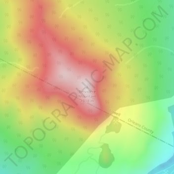
Name: Belvidere Mountain topographic map, elevation, terrain.
Location: Belvidere Mountain, Lowell, Orleans County, Vermont, USA (44.77314 -72.55092 44.77324 -72.55082)
Average elevation: 702 m
Minimum elevation: 399 m
Maximum elevation: 999 m