Geolocate

Goehner topographic map

Click on the map to display elevation.

About this map

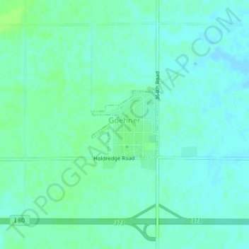
Name: Goehner topographic map, elevation, terrain.

Location: Goehner, Seward County, Nebraska, 68364, United States (40.82931 -97.22559 40.83664 -97.21613)

Average elevation: 471 m

Minimum elevation: 467 m

Maximum elevation: 476 m

Gear up for your next adventure:

🗺️Topographic Maps - Detailed maps to explore trails, mountains, and wilderness areas
🏃Hydration Running Vest - Carry water and maps close to your body for speed
🚑Survival Whistle - Signal for help across long distances in mountains
🎒Fully Waterproof Backpack - Total protection for photography gear and electronics
🦟Insect Repellent - Keep mosquitoes and black flies away in wooded areas

As an Amazon Associate, this site earns from qualifying purchases at no extra cost to you.