
Thank you for supporting this site ❤️
Make a donation
Make a donation
Gear up for your next adventure:
As an Amazon Associate, this site earns from qualifying purchases at no extra cost to you.
Balungagan topographic map
Click on the map to display elevation.
Thank you for supporting this site ❤️
Make a donation
Make a donation
Gear up for your next adventure:
As an Amazon Associate, this site earns from qualifying purchases at no extra cost to you.
About this map
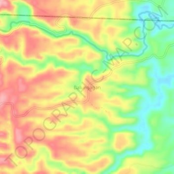
Name: Balungagan topographic map, elevation, terrain.
Location: Balungagan, Las Nieves, Agusan del Norte, Caraga, Philippines (8.71344 125.52141 8.75344 125.56141)
Average elevation: 91 m
Minimum elevation: 14 m
Maximum elevation: 159 m
Thank you for supporting this site ❤️
Make a donation
Make a donation
Gear up for your next adventure:
As an Amazon Associate, this site earns from qualifying purchases at no extra cost to you.