Geolocate

Krishnagiri topographic map

Click on the map to display elevation.

About this map

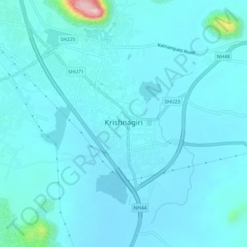
Name: Krishnagiri topographic map, elevation, terrain.

Location: Krishnagiri, Krishnagiri District, Tamil Nadu, India (12.49784 78.19250 12.53945 78.23139)

Average elevation: 500 m

Minimum elevation: 478 m

Maximum elevation: 727 m

Gear up for your next adventure:

🧥Waterproof Pants - Keep dry during rainy hiking conditions
🥾Waterproof Hiking Boots - Essential footwear for rugged terrain and wet Canadian trails
🧢Hiking Hat - Sun-protective and breathable hats for long treks
🧴Sunscreen SPF - Broad-spectrum sunscreen for outdoor activities
🔥Camping Stove - Portable stoves to cook outdoors with ease

As an Amazon Associate, this site earns from qualifying purchases at no extra cost to you.