Geolocate

Cesine topographic map

Click on the map to display elevation.

About this map
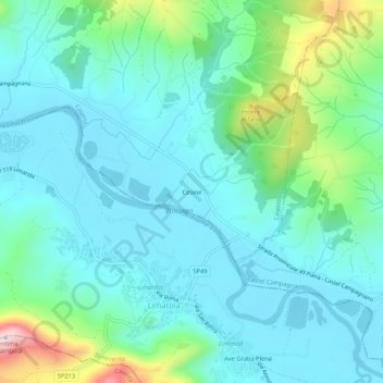
Name: Cesine topographic map, elevation, terrain.

Location: Cesine, Caiazzo, Caserta, 81013, Italia (41.13268 14.37680 41.17268 14.41680)

Average elevation: 97 m

Minimum elevation: 23 m

Maximum elevation: 385 m

Gear up for your next adventure:

🕶️Polarized Sunglasses - Reduces glare from snow and water at high elevations
🕶️Polarized Sunglasses - Protect your eyes with durable polarized lenses
🎒Backpack Rain Cover - External shield to keep your entire pack dry
🔥Emergency Fire Starter - Reliable ignition source for all weather conditions
🔋Emergency Crank Radio - Weather alerts and power without needing batteries

As an Amazon Associate, this site earns from qualifying purchases at no extra cost to you.