Geolocate

Chacapampa topographic map

Click on the map to display elevation.

About this map

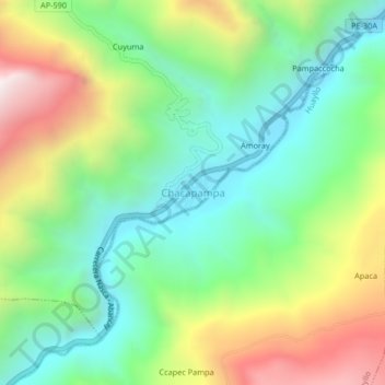
Name: Chacapampa topographic map, elevation, terrain.

Location: Chacapampa, Colcabamba, Aymaraes, Apurímac, Perú (-14.05872 -73.24756 -14.01872 -73.20756)

Average elevation: 2,762 m

Minimum elevation: 2,302 m

Maximum elevation: 3,576 m

Gear up for your next adventure:

🛏️Sleeping Bag - Warm and compact sleeping bags for outdoor camping
🧥Thermal Layer - Insulating layer for cold outdoor conditions
🥾Trail Hiking Socks - Comfortable socks to prevent blisters and fatigue
Family Camping Tent - Spacious tent suitable for family camping trips
🔦UV Flashlight - Detect minerals or specific insects in the dark

As an Amazon Associate, this site earns from qualifying purchases at no extra cost to you.