
Jeremy Ranch topographic map
Click on the map to display elevation.
About this map
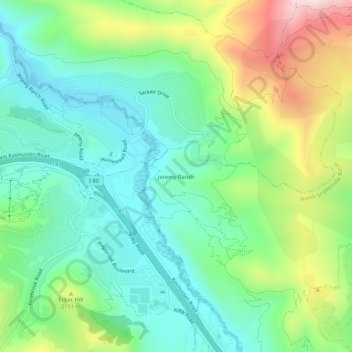
Name: Jeremy Ranch topographic map, elevation, terrain.
Location: Jeremy Ranch, Summit County, Utah, 84098, United States (40.73411 -111.57937 40.77411 -111.53937)
Average elevation: 2,048 m
Minimum elevation: 1,892 m
Maximum elevation: 2,385 m
Other topographic maps
Click on a map to view its topography, its elevation and its terrain.