
Thank you for supporting this site ❤️
Make a donation
Make a donation
Wellington topographic map
Interactive map
Click on the map to display elevation.


About this map
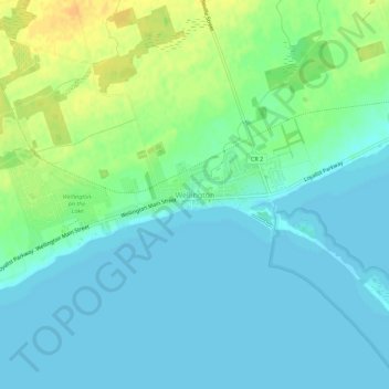
Name: Wellington topographic map, elevation, terrain.
Average elevation: 82 m
Minimum elevation: 73 m
Maximum elevation: 102 m
Prince Edward County trails, hiking, mountain biking, running and outdoor activities
Other topographic maps
Click on a map to view its topography, its elevation and its terrain.