
Katy topographic map
Interactive map
Click on the map to display elevation.
About this map
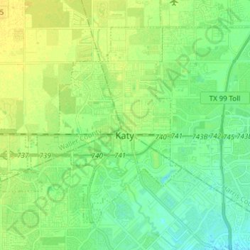
Name: Katy topographic map, elevation, terrain.
Location: Katy, Fort Bend County, Texas, 77492, United States (29.74886 -95.91852 29.83146 -95.79692)
Average elevation: 44 m
Minimum elevation: 35 m
Maximum elevation: 52 m
Other topographic maps
Click on a map to view its topography, its elevation and its terrain.