
Phu Sa Dok Bua National Park topographic map
Interactive map
Click on the map to display elevation.
About this map
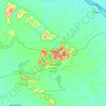
Name: Phu Sa Dok Bua National Park topographic map, elevation, terrain.
Average elevation: 184 m
Minimum elevation: 127 m
Maximum elevation: 486 m