
Freinberg topographic map
Interactive map
Click on the map to display elevation.
About this map
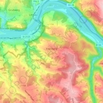
Name: Freinberg topographic map, elevation, terrain.
Location: Freinberg, Schärding, Upper Austria, 4785, Austria (48.53790 13.47450 48.59113 13.55149)
Average elevation: 393 m
Minimum elevation: 279 m
Maximum elevation: 508 m