
飛鳥山公園 topographic map
Interactive map
Click on the map to display elevation.
About this map
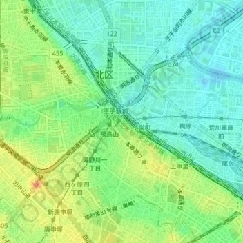
Name: 飛鳥山公園 topographic map, elevation, terrain.
Location: 飛鳥山公園, Kita, Tokyo, Kantō, Japon (35.74841 139.73663 35.75272 139.74087)
Average elevation: 18 m
Minimum elevation: -2 m
Maximum elevation: 47 m
Other topographic maps
Click on a map to view its topography, its elevation and its terrain.