
Nahr al Jur topographic map
Interactive map
Click on the map to display elevation.
About this map
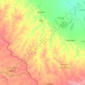
Name: Nahr al Jur topographic map, elevation, terrain.
Location: Nahr al Jur, Western Bahr el Ghazal, South Sudan (4.59277 27.79714 8.77868 29.31472)
Average elevation: 546 m
Minimum elevation: 389 m
Maximum elevation: 1,064 m