
Boulder topographic map
Interactive map
Click on the map to display elevation.
About this map
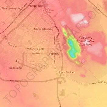
Name: Boulder topographic map, elevation, terrain.
Location: Boulder, Western Australia, 6432, Australia (-30.82222 121.44793 -30.74222 121.52793)
Average elevation: 360 m
Minimum elevation: 132 m
Maximum elevation: 454 m