
Manalapan Township topographic map
Interactive map
Click on the map to display elevation.
About this map
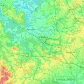
Name: Manalapan Township topographic map, elevation, terrain.
Average elevation: 41 m
Minimum elevation: 12 m
Maximum elevation: 104 m
According to the United States Census Bureau, the township had a total area of 30.839 square miles (79.873 km2), including 30.607 square miles (79.271 km2) of land and 0.232 square miles (0.602 km2) of water (0.75%). The township has an elevation of 82 feet (25 m).