
Malakand topographic map
Interactive map
Click on the map to display elevation.
About this map
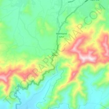
Name: Malakand topographic map, elevation, terrain.
Location: Malakand, Mardān District, Khyber Pakhtunkhwa, Pakistan (34.53303 71.89189 34.61303 71.97189)
Average elevation: 787 m
Minimum elevation: 495 m
Maximum elevation: 1,409 m