
Kaisers topographic map
Interactive map
Click on the map to display elevation.
About this map
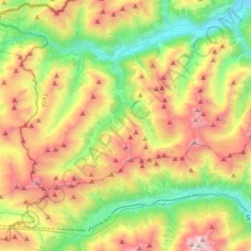
Name: Kaisers topographic map, elevation, terrain.
Location: Kaisers, Reutte (Außerfern), Tyrol, Austria (47.15274 10.20730 47.23815 10.45276)
Average elevation: 1,882 m
Minimum elevation: 1,046 m
Maximum elevation: 3,135 m