
Belleville topographic map
Interactive map
Click on the map to display elevation.
About this map
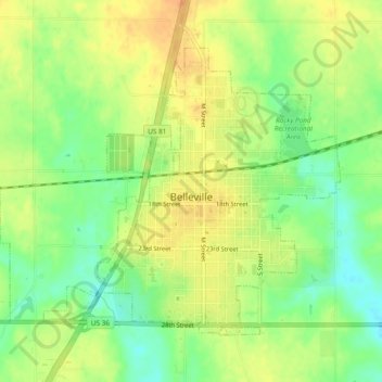
Name: Belleville topographic map, elevation, terrain.
Location: Belleville, Republic County, Kansas, USA (39.81152 -97.66141 39.83883 -97.61407)
Average elevation: 464 m
Minimum elevation: 445 m
Maximum elevation: 479 m