
Tingo topographic map
Interactive map
Click on the map to display elevation.
About this map
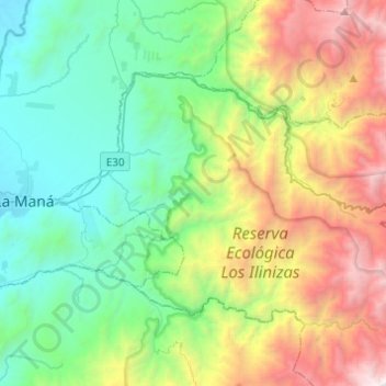
Name: Tingo topographic map, elevation, terrain.
Location: Tingo, Pujilí, Cotopaxi, Ecuador (-1.01314 -79.21367 -0.85914 -78.96924)
Average elevation: 2,086 m
Minimum elevation: 295 m
Maximum elevation: 4,255 m