
Port Glasgow topographic map
Interactive map
Click on the map to display elevation.
About this map
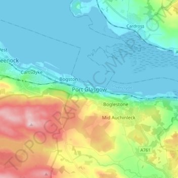
Name: Port Glasgow topographic map, elevation, terrain.
Location: Port Glasgow, Inverclyde, Scotland, PA14 5JQ, United Kingdom (55.89429 -4.72985 55.97429 -4.64985)
Average elevation: 83 m
Minimum elevation: -2 m
Maximum elevation: 301 m