
Hydra topographic map
Interactive map
Click on the map to display elevation.
About this map
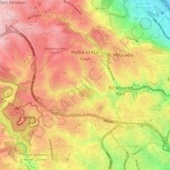
Name: Hydra topographic map, elevation, terrain.
Location: Hydra, Bir Mourad Rais District, Algiers, Algeria (36.72426 3.00158 36.75709 3.04928)
Average elevation: 161 m
Minimum elevation: 1 m
Maximum elevation: 260 m