
Strovolos topographic map
Interactive map
Click on the map to display elevation.
About this map
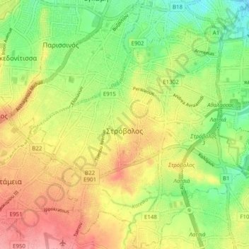
Name: Strovolos topographic map, elevation, terrain.
Location: Strovolos, Nicosia, Cyprus (35.10269 33.30964 35.16240 33.38127)
Average elevation: 189 m
Minimum elevation: 144 m
Maximum elevation: 239 m