
Гульдала topographic map
Interactive map
Click on the map to display elevation.
About this map
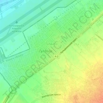
Name: Гульдала topographic map, elevation, terrain.
Location: Гульдала, Талгарский район, Almaty Region, 041611, Kazakhstan (43.33600 77.03603 43.35994 77.06988)
Average elevation: 690 m
Minimum elevation: 671 m
Maximum elevation: 714 m