
Pinola topographic map
Interactive map
Click on the map to display elevation.
About this map
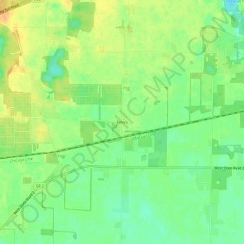
Name: Pinola topographic map, elevation, terrain.
Location: Pinola, LaPorte County, Indiana, United States (41.57893 -86.81780 41.61893 -86.77780)
Average elevation: 257 m
Minimum elevation: 240 m
Maximum elevation: 273 m