
Val-au-Perche topographic map
Interactive map
Click on the map to display elevation.
About this map
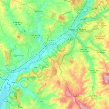
Name: Val-au-Perche topographic map, elevation, terrain.
Average elevation: 154 m
Minimum elevation: 86 m
Maximum elevation: 276 m
Other topographic maps
Click on a map to view its topography, its elevation and its terrain.
La Rouge
France > Normandy > Val-au-Perche
La Rouge, Val-au-Perche, Mortagne-au-Perche, Orne, Normandy, Metropolitan France, 61260, France
Average elevation: 127 m