
Saribu Dolok topographic map
Interactive map
Click on the map to display elevation.
About this map
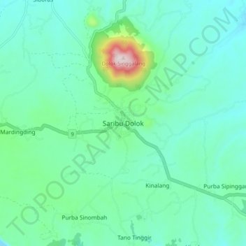
Name: Saribu Dolok topographic map, elevation, terrain.
Location: Saribu Dolok, Simalungun, North Sumatra, Indonesia (2.89879 98.57151 2.97879 98.65151)
Average elevation: 1,391 m
Minimum elevation: 1,284 m
Maximum elevation: 1,857 m