
West Rocks topographic map
Interactive map
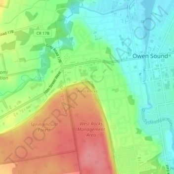
Click on the map to display elevation.
About this map
Name: West Rocks topographic map, elevation, terrain.
Average elevation: 216 m
Minimum elevation: 176 m
Maximum elevation: 269 m
Other topographic maps
Click on a map to view its topography, its elevation and its terrain.
Owen Sound
Canada > Ontario > Grey County > Owen Sound
Owen Sound, Grey County, Southwestern Ontario, Ontario, N4K 1S3, Canada
Average elevation: 258 m