
Phra Nakhon District topographic map
Interactive map
Click on the map to display elevation.
About this map
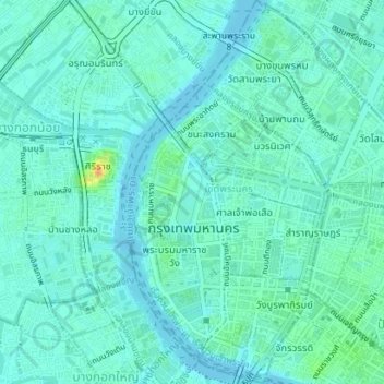
Name: Phra Nakhon District topographic map, elevation, terrain.
Location: Phra Nakhon District, Bangkok, 10200, Thailand (13.73869 100.48758 13.77289 100.50924)
Average elevation: 7 m
Minimum elevation: 0 m
Maximum elevation: 34 m