
Cano topographic map
Interactive map
Click on the map to display elevation.
About this map
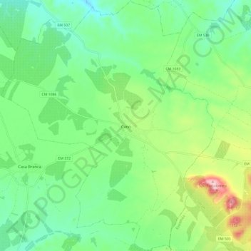
Name: Cano topographic map, elevation, terrain.
Location: Cano, Sousel, Portalegre, Alentejo Region, Portugal (38.91849 -7.82135 39.01014 -7.72087)
Average elevation: 230 m
Minimum elevation: 168 m
Maximum elevation: 371 m