
Baptiste Village topographic map
Interactive map
Click on the map to display elevation.
About this map
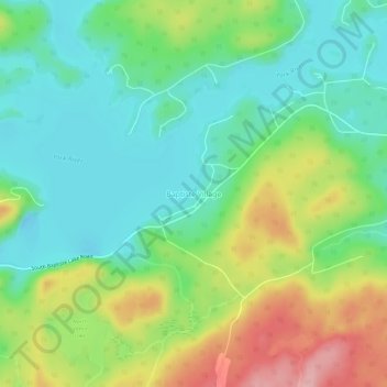
Name: Baptiste Village topographic map, elevation, terrain.
Average elevation: 396 m
Minimum elevation: 343 m
Maximum elevation: 495 m
Other topographic maps
Click on a map to view its topography, its elevation and its terrain.
Baptiste Lake
Canada > Ontario > Hastings Highlands > Baptiste Village
Baptiste Lake, Baptiste Village, Hastings Highlands, Hastings County, Central Ontario, Ontario, Canada
Average elevation: 403 m