
Synapne topographic map
Interactive map
Click on the map to display elevation.
About this map
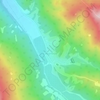
Name: Synapne topographic map, elevation, terrain.
Location: Synapne, Верхореченское сельское поселение, Ukraine (44.66938 34.00573 44.67891 34.01728)
Average elevation: 347 m
Minimum elevation: 242 m
Maximum elevation: 550 m