
Springwater topographic map
Interactive map
Click on the map to display elevation.
About this map
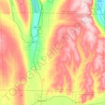
Name: Springwater topographic map, elevation, terrain.
Location: Springwater, Livingston County, New York, United States (42.57722 -77.65587 42.67229 -77.48662)
Average elevation: 495 m
Minimum elevation: 243 m
Maximum elevation: 684 m