
Bounoura topographic map
Interactive map
Click on the map to display elevation.
About this map
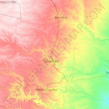
Name: Bounoura topographic map, elevation, terrain.
Location: Bounoura, Bounoura District, Ghardaia, Algeria (32.36729 3.14958 32.70526 4.16234)
Average elevation: 549 m
Minimum elevation: 327 m
Maximum elevation: 800 m